Geospatial Services
Advanced Aerial Intelligence for Agriculture & Industry
LiDAR, photogrammetry, thermography, and multispectral imaging — turning raw aerial data into actionable field intelligence across New Mexico and West Texas.
From the Air to the Decision
Field Vector deploys sensor-equipped UAS platforms to capture high-resolution spatial data across agricultural, industrial, and infrastructure environments. We process and deliver analysis-ready outputs — orthomosaics, point clouds, thermal maps, and inspection reports — that give you a clear picture of what's happening on your land or assets.
All flights conducted under FAA Part 107 certification. Data delivered in standard GIS and industry formats.
Geospatial Capabilities
Sensors, Data & Deliverables
LiDAR Scanning & Point Cloud Mapping
High-density LiDAR point cloud capture for terrain modeling, volumetric analysis, and structural assessment. Ideal for drainage planning, earthwork estimation, and precise topographic mapping across large or complex terrain.
- Terrain & topographic modeling
- Drainage & watershed analysis
- Earthwork volume estimation
- Vegetation height mapping
- Structural clearance surveys
Photogrammetry & Orthomosaic Mapping
Centimeter-accurate orthomosaic maps and 3D surface models from overlapping aerial imagery. Delivered as georeferenced GeoTIFFs, KMZ overlays, or web-viewable maps for use in GIS, planning, and field operations.
- High-resolution orthomosaic maps
- 3D surface & elevation models
- Field boundary delineation
- Change detection over time
- GIS-ready georeferenced outputs
Thermal Infrared Imaging
Radiometric thermal imaging for crop stress detection, irrigation uniformity analysis, livestock monitoring, and equipment or infrastructure heat signature inspection. Identify problems before they become losses.
- Crop stress & disease detection
- Irrigation uniformity mapping
- Livestock & wildlife thermal surveys
- Equipment heat signature inspection
- Solar panel efficiency analysis
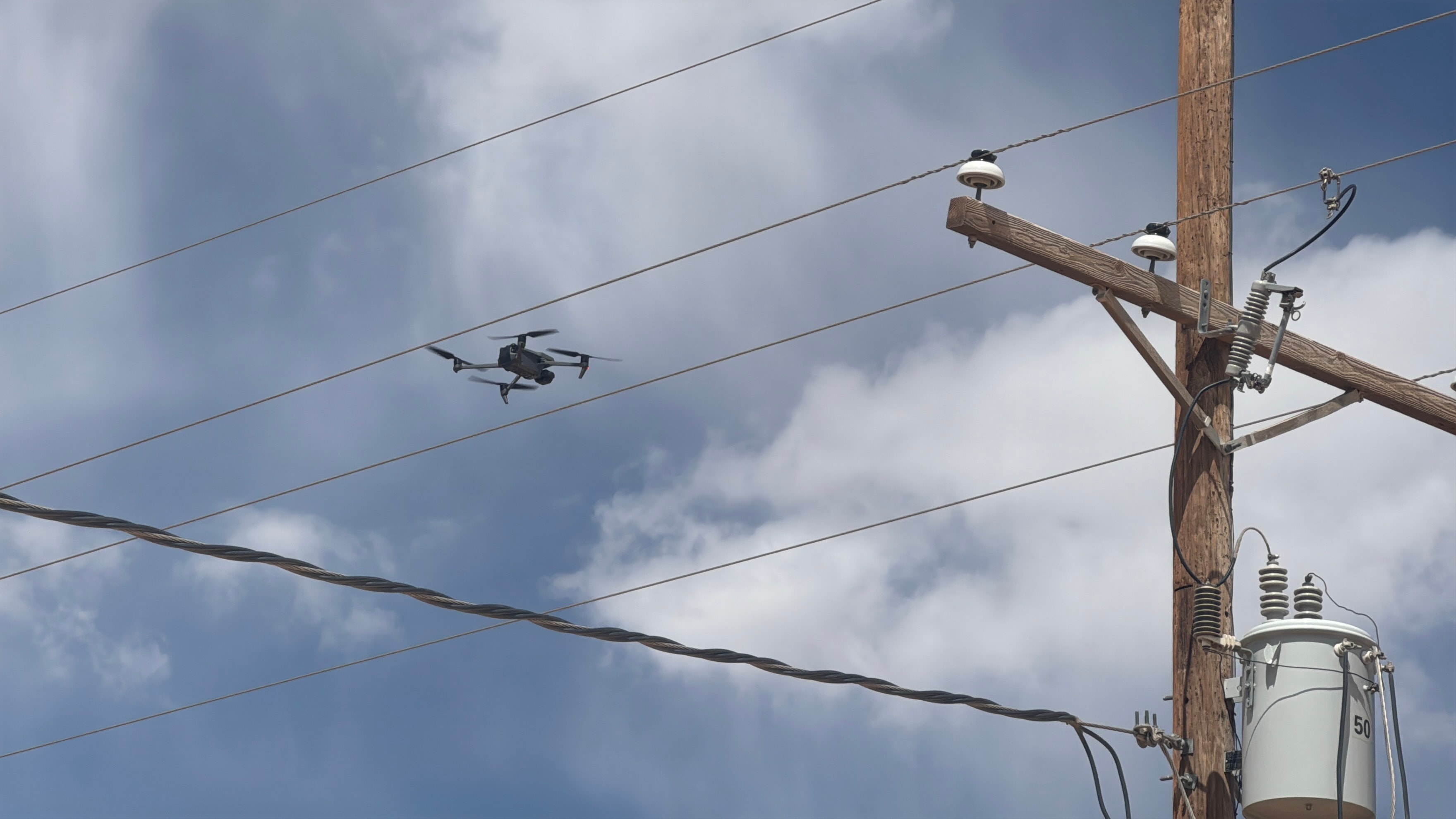
Electrical T&D Line Inspection
Safe, efficient aerial inspection of transmission and distribution infrastructure — towers, conductors, insulators, and hardware — using high-resolution visual and thermal imaging. Reduce crew exposure and inspection time.
- Transmission tower inspection
- Distribution line corridor survey
- Insulator & hardware condition
- Thermal hotspot detection
- Vegetation encroachment mapping
Industrial & Infrastructure Inspection
Aerial visual and thermal inspection of tanks, pipelines, facilities, fences, and structures. Deliver detailed condition reports with geotagged imagery for maintenance planning and regulatory documentation.
- Tank & vessel exterior inspection
- Pipeline corridor monitoring
- Facility & perimeter surveys
- Fence line condition assessment
- Geotagged condition reporting
Precision Ag & Multispectral Imaging
NDVI, NDRE, and multispectral index mapping for crop health monitoring, variable rate prescription generation, and yield potential analysis. Identify stress zones, nutrient deficiencies, and irrigation gaps before they impact yield.
- NDVI & NDRE crop health maps
- Variable rate application prescriptions
- Irrigation gap identification
- Nutrient deficiency mapping
- Season-over-season change analysis
Get Started
Need aerial data for your operation?
Tell us what you're mapping, inspecting, or monitoring — we'll scope the right sensor package.
What You Receive
Analysis-Ready Data Deliverables
Every geospatial project is delivered with processed, analysis-ready outputs in formats your team can use immediately — no raw data dumps.
Need Aerial Data for Your Operation?
Tell us what you're mapping, inspecting, or monitoring — we'll scope the right sensor package and flight plan.